|
|
Saturday, May 24th, 2008
|
Acknowledgements
These maps are the result of the hard work of Thande, ahscardinal, Knight Templar, Walker, Darkest, Nek, Qazag2007, euio, and Lord Sander.
Changelog
- May 24 2008
Maps (mostly) by Knight Templar added; 44 BCE, 300, 500, 632, 800, 1000, 1200, 1920
Many minor corrections on many of the maps.
General overhaul of the WWII era maps.
2007 - Map converted to 2008, Kosovo shown (at least de facto) independent.
- August 1 2007
1493 - Made Naples independent.
1500 - Removed border in Naples.
1793 - Map by Knight Templar added, minor adjustments.
1807 - Map by Knight Templar added, minor adjustments.
1975 - Hong Kong and Macau moved west.
1989 - Added a few SSRs, corrected German unification.
2007 - Minor adjustment.
Oceanographic map by Walker added.
Adjusted Iroqouis borders on maps 1400 through 1658.
- July 31 2007
1400 - Updated with revisions by Knight Templar.
1493 - Map by Knight Templar added.
1500 - Updated with revisions by Knight Templar.
1530 - Updated with revisions by Knight Templar.
1600 - Updated with revisions by Knight Templar.
1650 - Map by Knight Templar added.
1658 - Map by Knight Templar added.
1700 - Updated with revisions by Knight Templar.
1776 - Map by Thande added.
1885 - Map by Knight Templar added.
1918 - Updated with revisions by Knight Templar and Qazag2007.
1950 - Updated with revisions by Knight Templar.
1958 - Map by Knight Templar added.
1989 - Map by Knight Templar added.
- June 4 2007
Due to disagreements with the Alternian administration, The Map Repository has returned to its former glory.
The Map Repository will not be taken off this site again.
- June 2 2007
The Map Repository joined with Alternia.
- May 31 2007
After a long hiatus, an update.
3 maps by Knight Templar added.
1925 - Added Thande's Indian subdivisions.
More updates to come.
- March 31 2007
Made a seperate page to display my personal maps. See the links.
Made a page to display ahscardinal's excellent maps. See the links.
- March 30 2007
Added a guestbook.
Rearranged links in order of precedence.
- March 29 2007
4 maps by Knight Templar added.
1918 - Adjusted border of territory ceded to Germany by Russia.
- March 23 2007:
Major page revisions, maps added, maps modified, personal maps removed.
- Feb 21 2007:
Adjusted Austro-Ottoman border on maps 1500 through 1901.
1600 - Adjusted border of Sk�neland, added German states.
2007 - Removed British and USA influence from Iraq, adjusted dotted borders.
Historical Regions - Map added.
- Feb 18 2007:
1500 - Adjusted Finnish border of Denmark.
1600 - Adjusted Finnish border of Denmark and Sweden.
1700 - Adjusted Finnish and Ingrian borders of Sweden.
1727 - Adjusted Finnish border of Sweden.
1800 - Adjusted Finnish border of Sweden.
- Feb 17 2007:
1925 - Adjusted eastern border of Finland, adjusted north-western border of Tannu Tuva.
1939 - Adjusted eastern border of Finland, added Tannu Tuva.
1941 - Adjusted eastern border of Finland, added Tannu Tuva.
1942 - Adjusted eastern border of Finland, added Tannu Tuva.
- Feb 16 2007:
Adjusted eastern Prussian border on maps 1845 through 1914.
- Feb 14 2007:
1845 - Adjusted northern border of Guatemala, changed color of Sardinia, adjusted northern border of USA.
1850 - Adjusted northern border of Guatemala.
1861 - Adjusted northern border of Guatemala.
- Feb 13 2007:
1500 - Adjusted border of Wales.
1845 - Made Oregon Country under joint British and USA control.
1845 - Added Krakow.
1850 - Added Gadsen Purchase.
1925 - Adjusted eastern borders of Lithuania and Poland.
1939 - Adjusted eastern borders of Lithuania and Poland.
1941 - Map added, minor adjustments to Knight Templar's original.
1950 - Adjusted western border of the GDR.
1975 - Adjusted western border of the GDR.
History 44 BCE - 1200: Classical World and Medieval Era
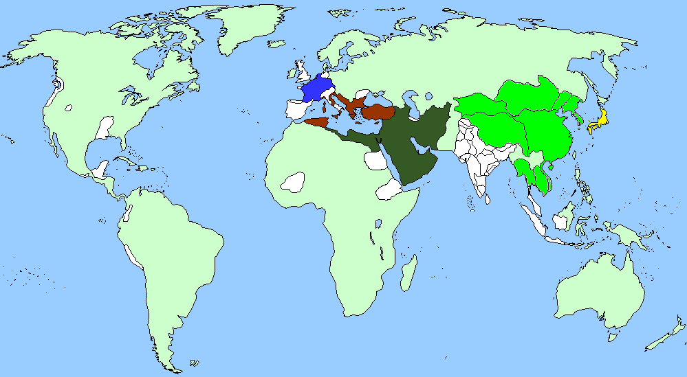
44 BCE
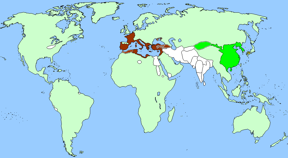
300
500
632
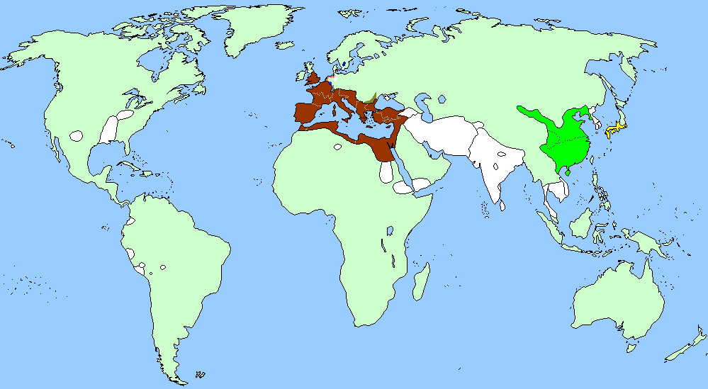
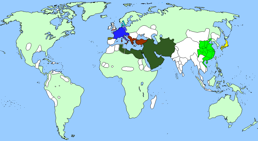
800
1000
1200
History 1400 - 1901: European Colonialism
1400
1493
1500
1530
1600

1650
1658
1700
1727
1776
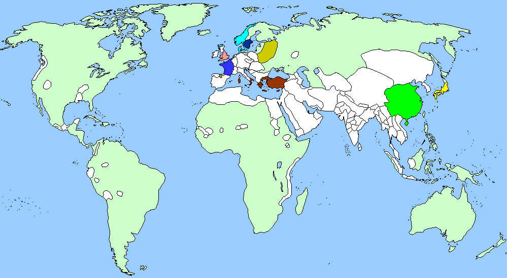
1793
1800
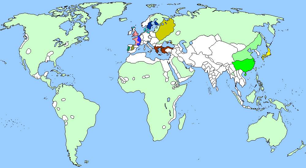
1807
1812
1815
1845
1850
1861
1885
1890
1901
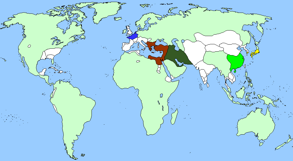
History 1914 - 1925: The First World War and Interbellum
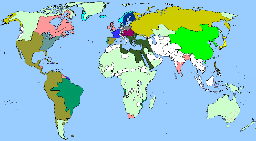
1914
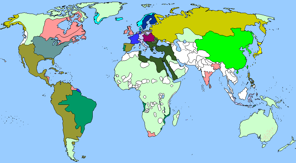
1915
1916
1917
1918
1920
1925
History 1939 - 1945: The Second World War
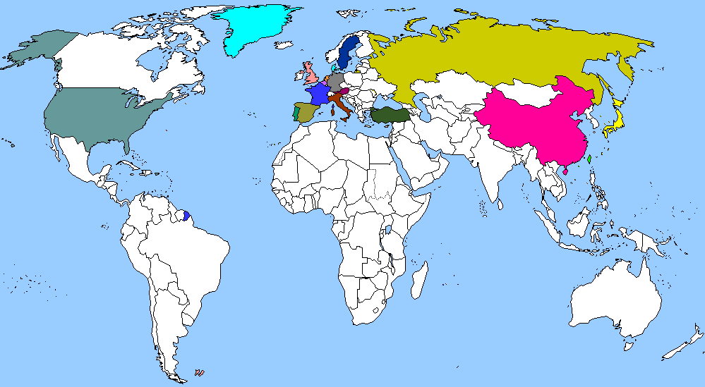
1939
1940
1941
1942

1943

1944
1945

History 1950 - 2007: The Cold War and the 21st Century
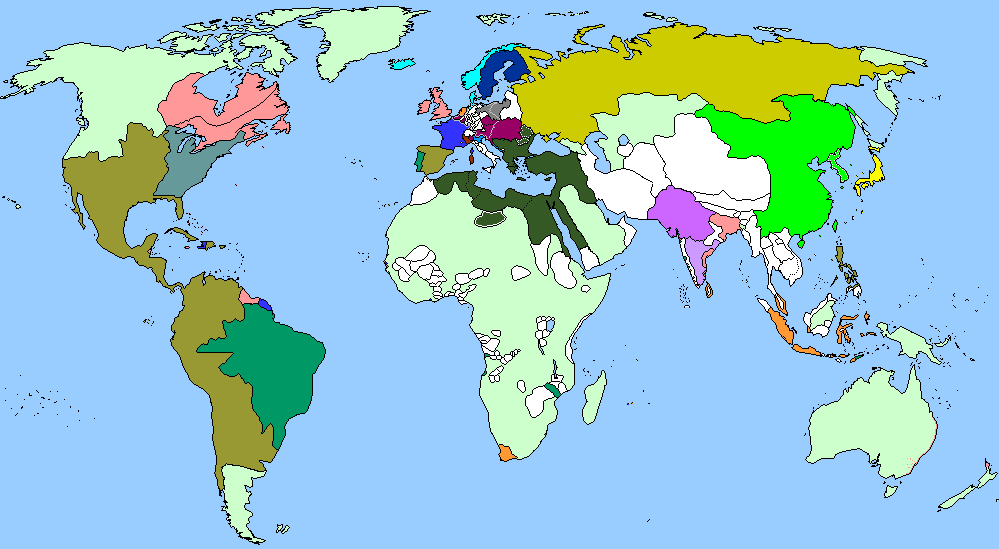
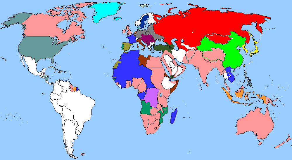
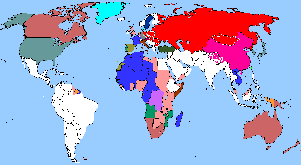
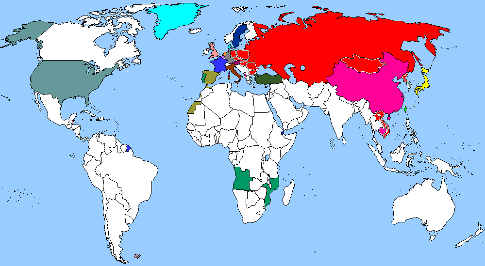
1950
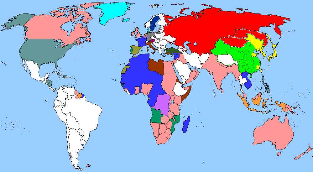
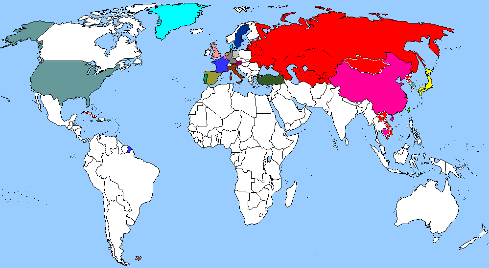
1958
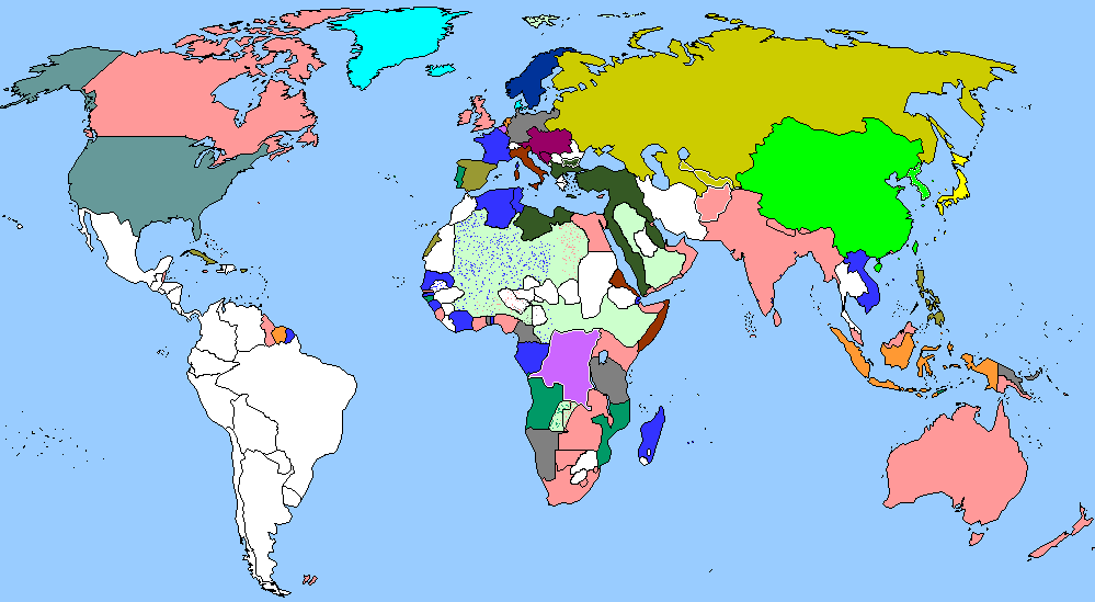
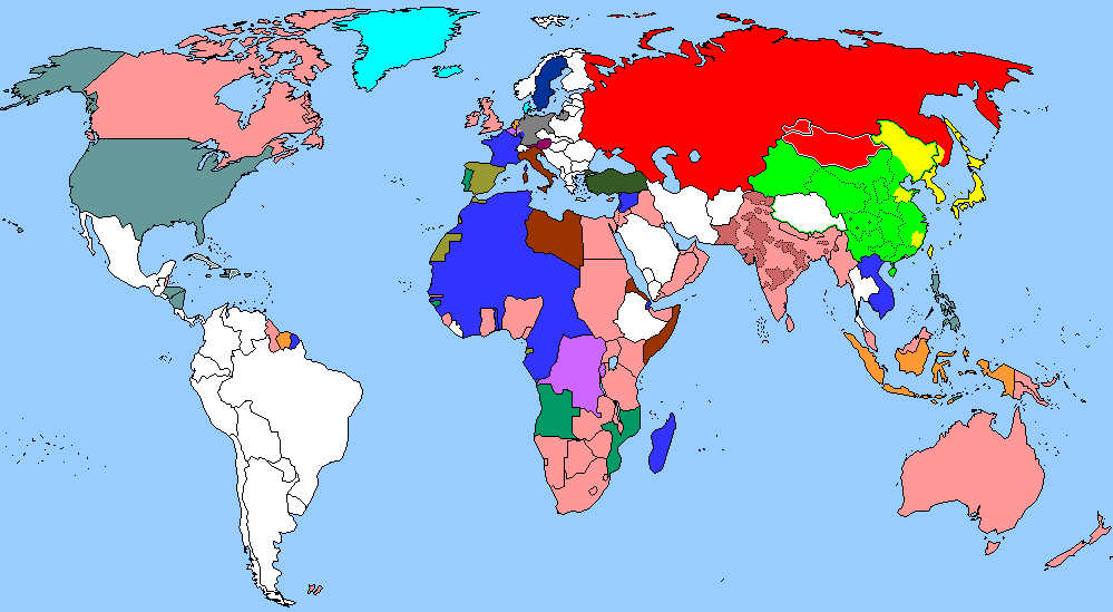
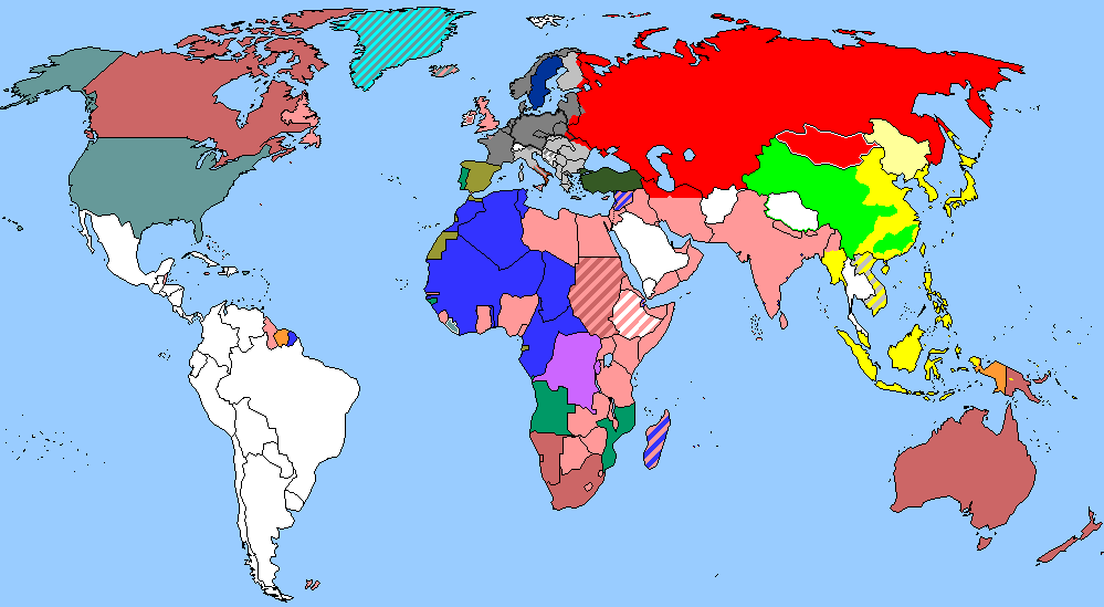
1975
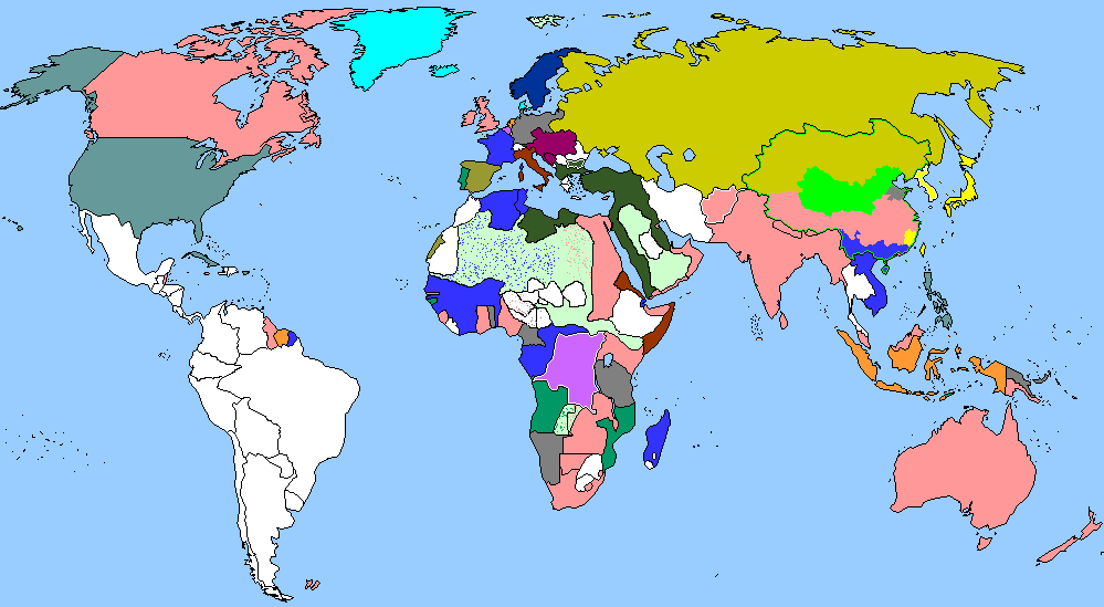
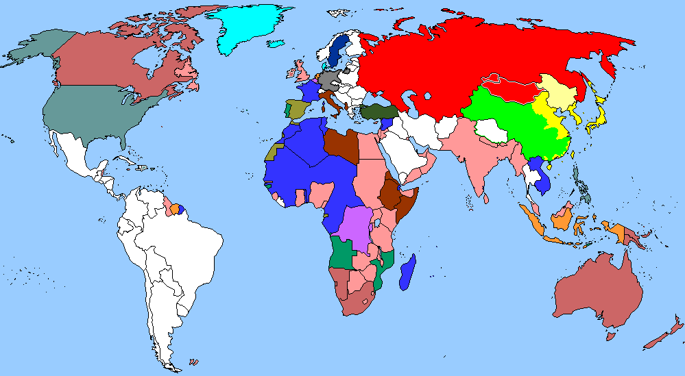
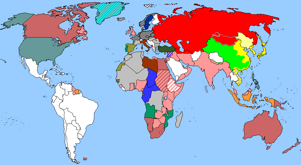
1989
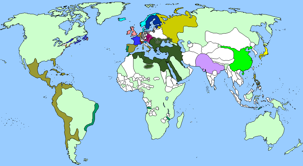
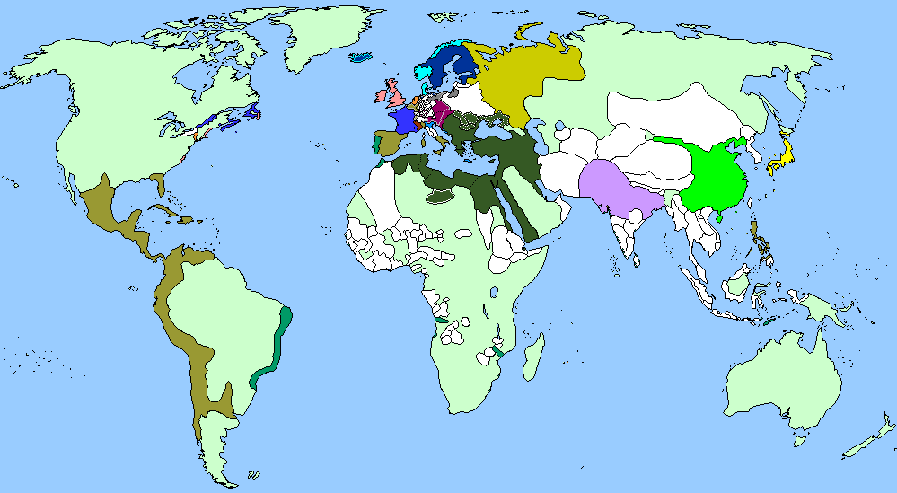
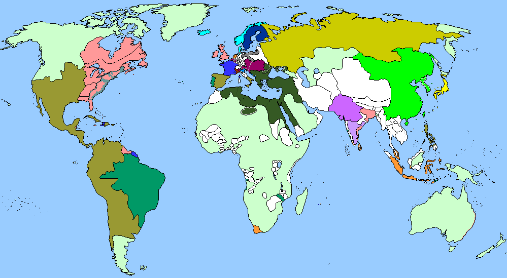
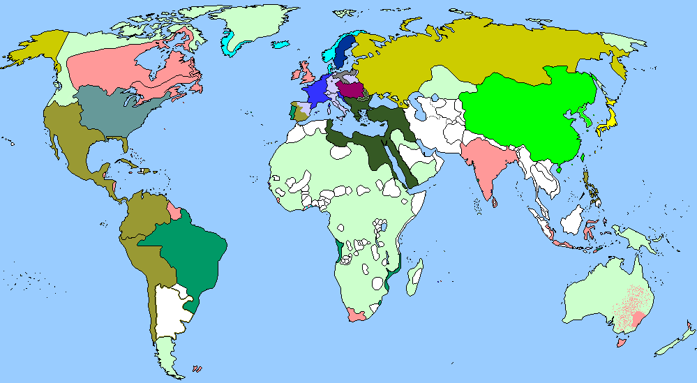
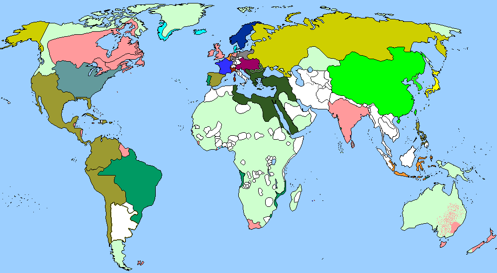
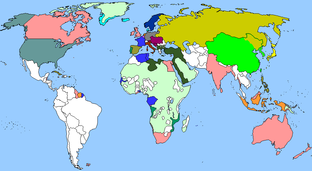
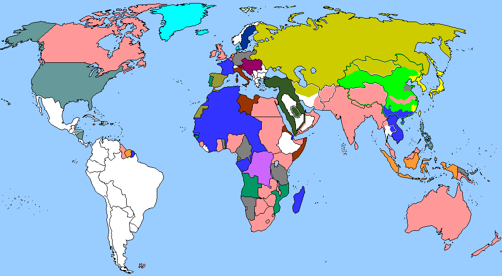
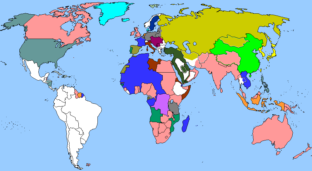
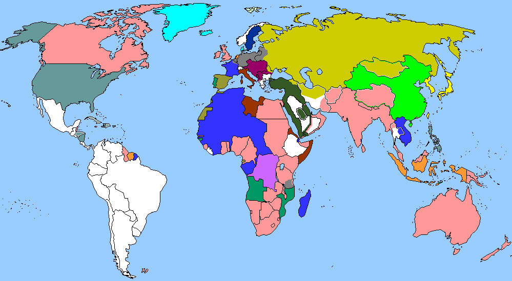
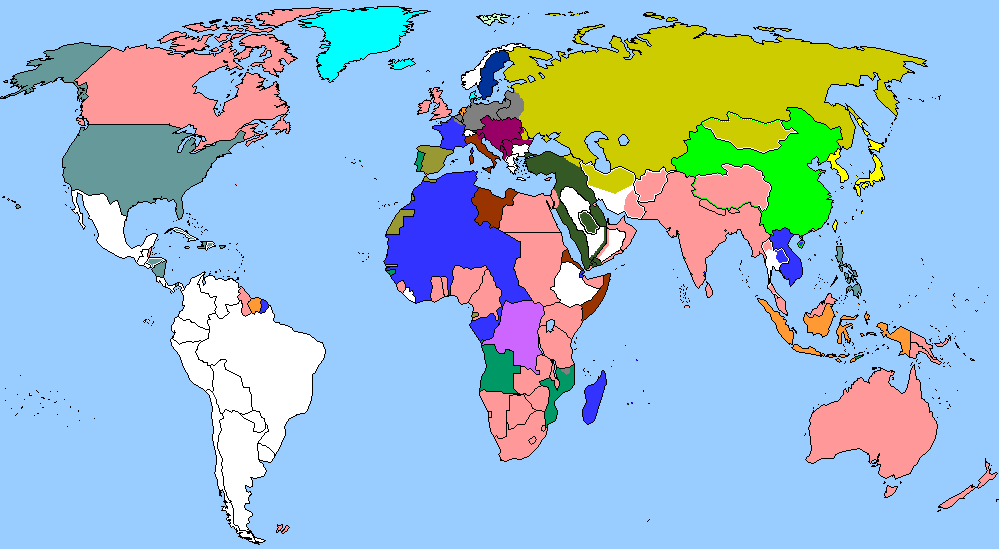
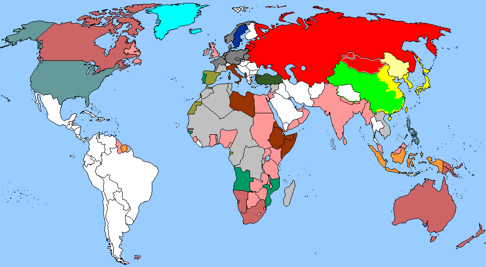
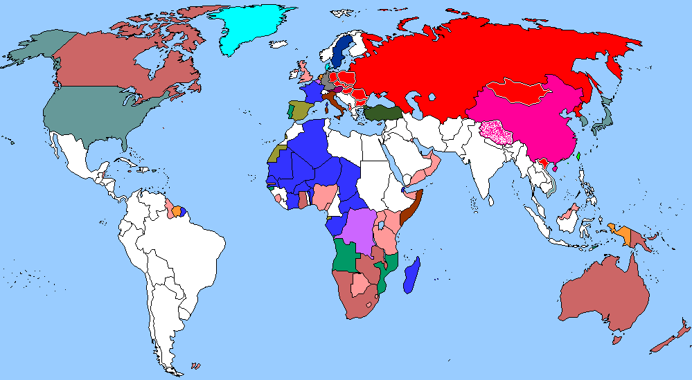
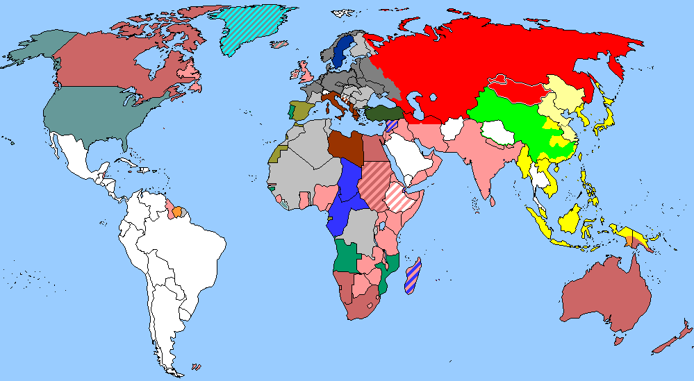
2008
Resources
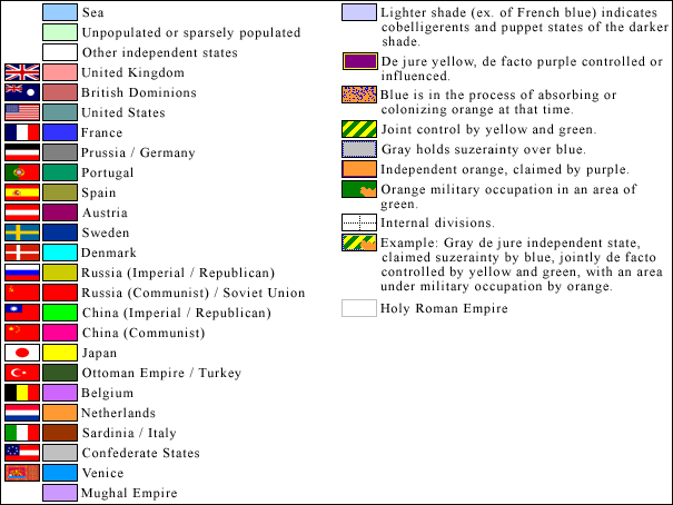
Key
Oceanographic Blank Map
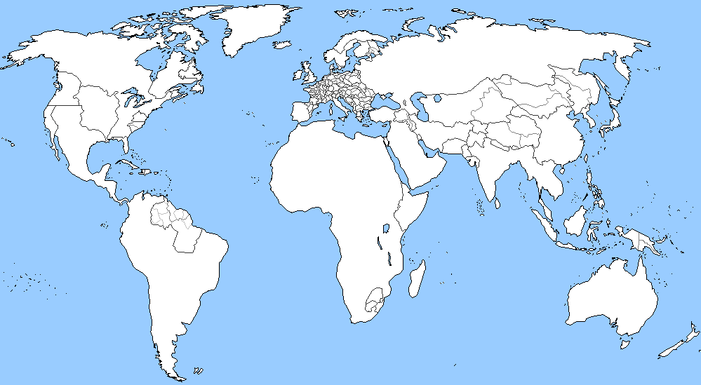
Administrative Subdivisions 1850
Historical Regions
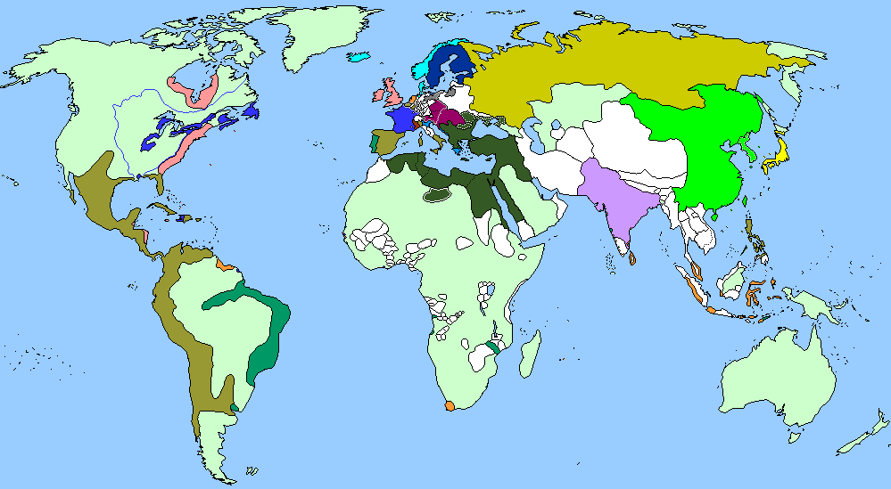
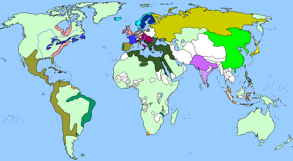
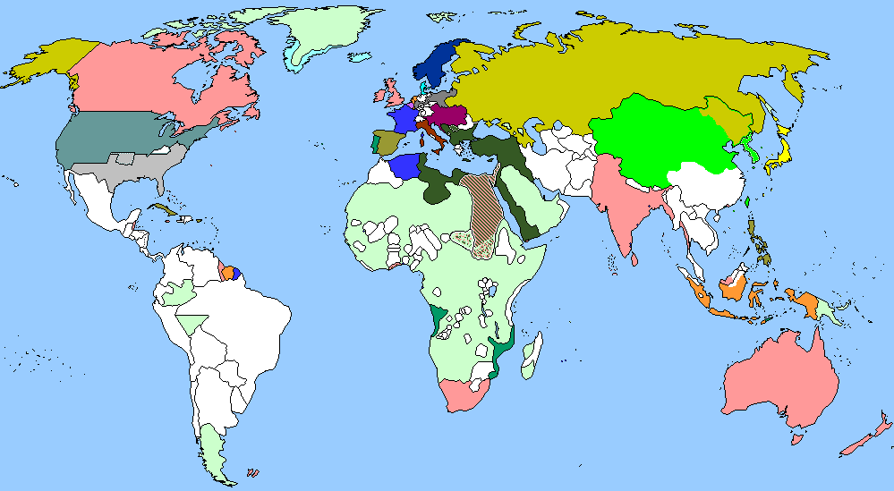
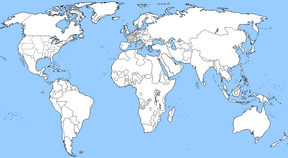
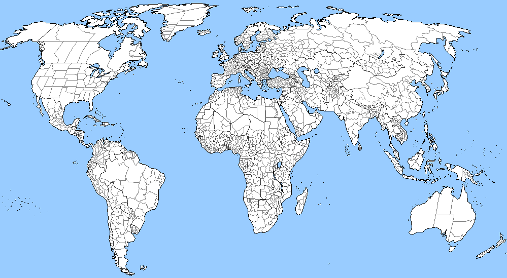
Administrative Subdivisions 2007
Mengjiang, Japanese puppet 1939

Nanjing Nationalist Government, Japanese puppet 1942
| |
| | |